Banks Township Schools
Historical Documentation of Closed Schools (1926-2003)
Schools in Banks Township
| District | School | Year Closed |
|---|---|---|
| Banks | Prattville | 1926 |
| Fry | 1929 | |
| Fetterman | 1929 | |
| Lockvale | 1929 | |
| Sidney | 1926 | |
| Cross Roads | 1941 | |
| Rowley | 1944 | |
| Rockwood | 1946 | |
| Graham | 1952 | |
| Pleasant Dale | 1953 | |
| McKee | 1955 | |
| Pine Grove | 1955 | |
| Smithport | 1955 | |
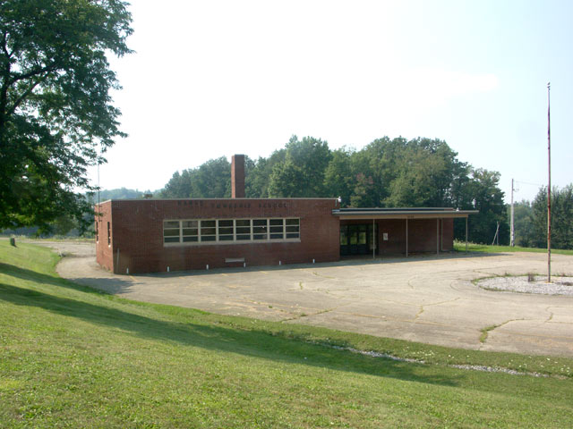
| Banks Canoe | 2003 |
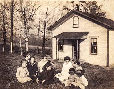
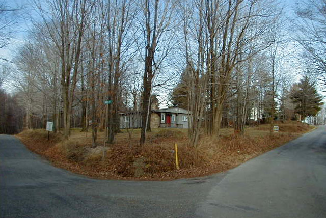
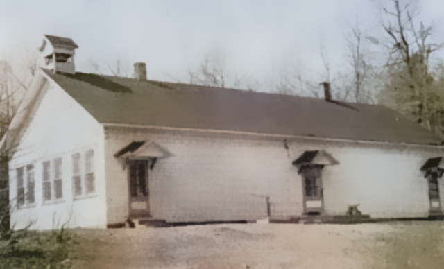
Prattville School (1926)
Fry School (1929)
No photograph available
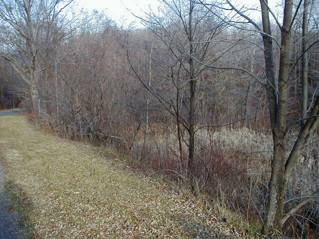
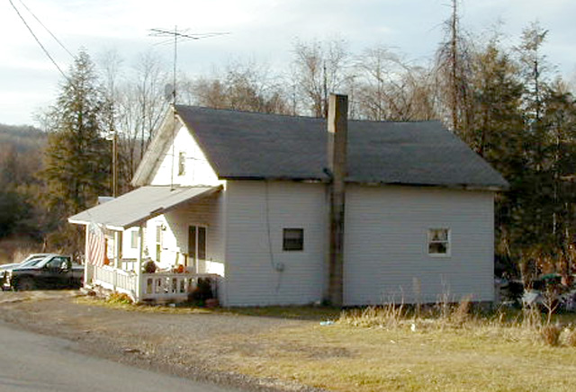
Fetterman School (1929)
Lockvale School (1929)
No photograph available
Sidney School (1926)
No photograph available
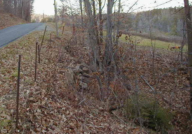
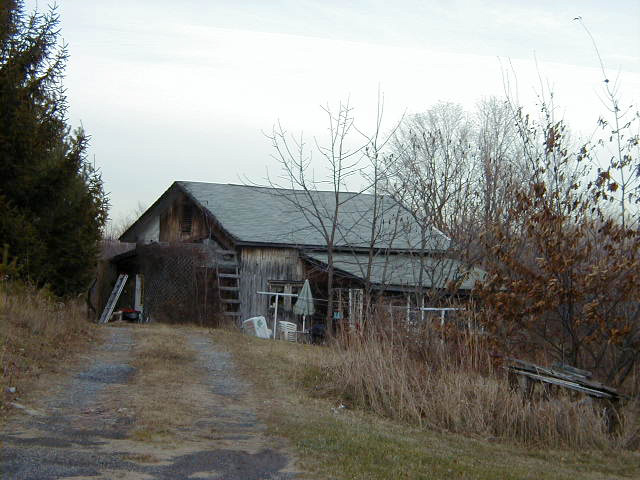
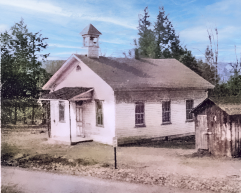
Cross Roads School (1941)
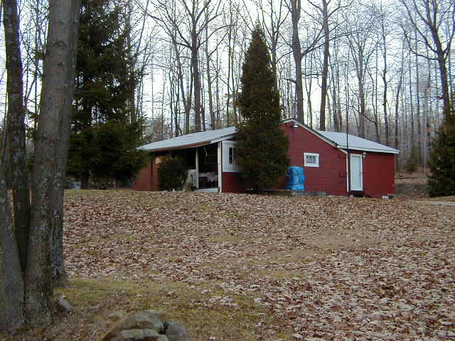
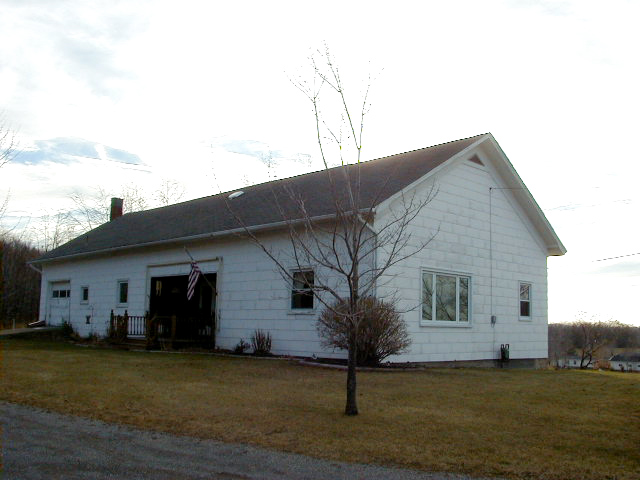
Rowley School (1944)

Rockwood School (1946)
No photograph available
Graham School (1952)
No photograph available
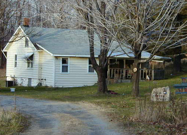
Pleasant Dale School (1953)
McKee School (1955)
Pine Grove School (1955)
Smithport School (1955)
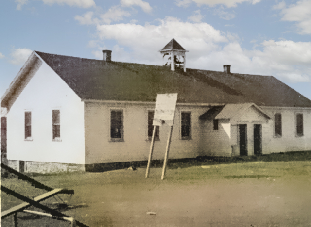
Banks Canoe School (2003)