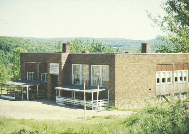
Henderson Township Schools
Historical Documentation of Schools (1928-1954)
Schools in Henderson Township
| District | School | Year Closed |
|---|---|---|
| Henderson | Wayne | 1928 |
| Lower Buchheit | 1932 | |
| Zufall | 1936 | |
| Pifer | 1947 | |
| Cross Roads | 1947 | |
| Desire | 1950 | |
| Henderson | 1951 | |
| Schlimmer | 1951 | |
| Upper Buchheit #1 | 1954 | |
| Upper Buchheit #2 | 1954 | |
| Kramer | — |
Wayne School (1928)
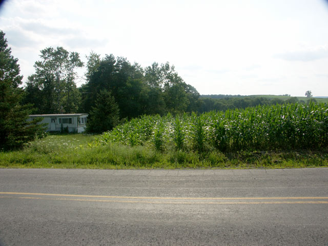
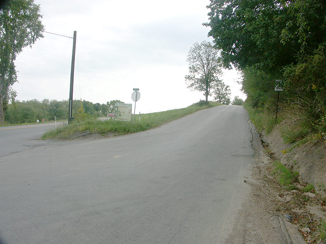
Location: Big Run/Prescottville Road
Coordinates: 41.00861, -78.87528
Elevation: 1540 ft
View on Google MapsNote: See Zufall entry - same location
After 1928, Wayne students went to Zufall¹
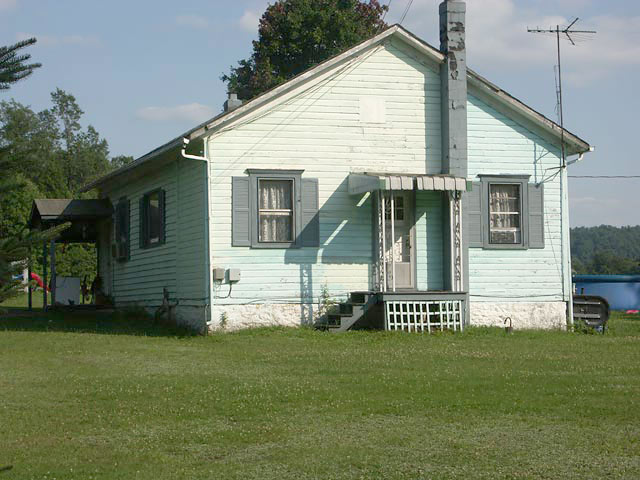
Lower Buchheit School (1932)
After 1932, Lower Buchheit students went to Henderson¹
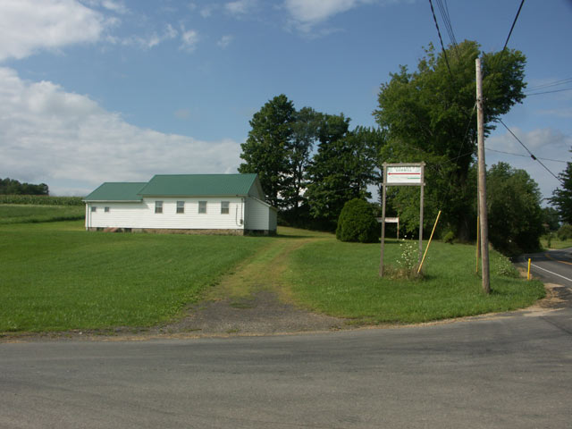
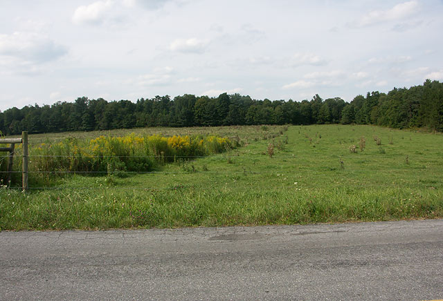
Zufall School (1936)
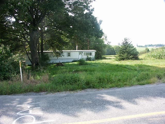
Location: Big Run/Prescottville Road
Coordinates: 41.00861, -78.87528
Elevation: 1540 ft
View on Google MapsNote: Local persons directed us to the identical location for Zufall that the coordinates indicate for Wayne. It's possible both schools were at the same or similar location.
After 1947 (possibly 1936), Zufall students went to Henderson¹
Pifer School (1947)
Possible Location 1: Big Run-Prescottville Road
Coordinates: 41.02556, -78.87306
Elevation: 1575 ft
View Location 1 on Google MapsPossible Location 2: Highland Park Road
Coordinates: 41.005, -78.92194
Elevation: 1600 ft
View Location 2 on Google MapsAfter 1947, Pifer students went to Henderson or Kramer¹
Cross Roads School (1947)
Location: Route 410 & Berry Road
After 1947, Cross Roads students went to Schlimmer¹
Desire School (1950)
No photograph available
According to Shirley Sharp's book on Henderson Township, the school was sold for lumber.
After 1950, Desire students went to Kramer¹
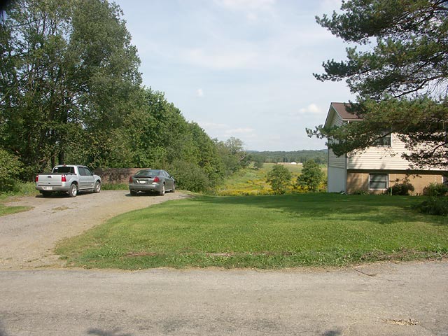
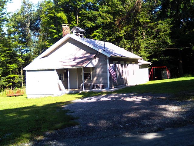
Henderson School (1951)
Location: Big Run-Prescottville Road
Coordinates: 40.985, -78.86778
Elevation: 1460 ft
View on Google MapsSchlimmer School (1951)
Upper Buchheit #1 School (1954)
There are 2 Upper Buchheits, and it is unclear which is which at this point.
Upper Buchheit #2 School (1954)
No photograph available
According to Shirley Sharp's book on Henderson Township, the Upper Buchheit school buildings were dismantled in 1958.
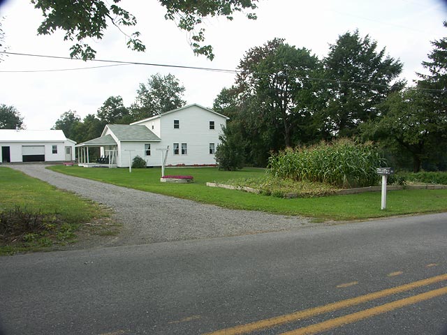
Kramer School
References
1 Henderson Township Commemorative History 1857-2007, by Shirley Sharp