McCalmont Township Schools
Historical Documentation of Schools (1918-1958)
Schools in McCalmont Township
| District | School | Year Closed |
|---|---|---|
| McCalmont | Sprucedale | 1918 |
| Old Anita | 1918 | |
| Florence | 1921 | |
| Pifer | 1939 | |
| Battle Hollow | 1942 | |
| Cortez | 1942 | |
| Eleanora | 1942 | |
| Anita High School | 1942 | |
| Hemlock | 1943 | |
| Panic | 1947 | |
| Anita | 1958 |
Sprucedale School (1918)
No photograph available
Old Anita School (1918)
No photograph available
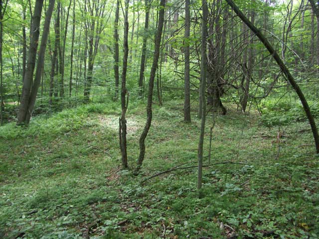
Florence School (1921)
Location: Graffius Avenue Extension
Coordinates: 41.00083, -78.94389
Elevation: 1640 ft
View on Google MapsAlso known as High Florence
Pifer School (1939)
No photograph available
Battle Hollow School (1942)
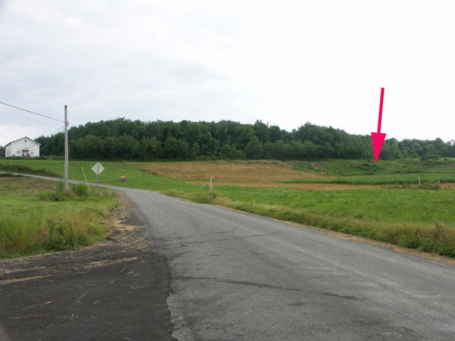
Location: Anita-Oliveburg Road
Coordinates: 41.00417, -78.99861
Elevation: 1630 ft
View on Google MapsApparently was named because of a disagreement over the best location for the school, and "Battle Hollow" seemed to best describe the deliberations!
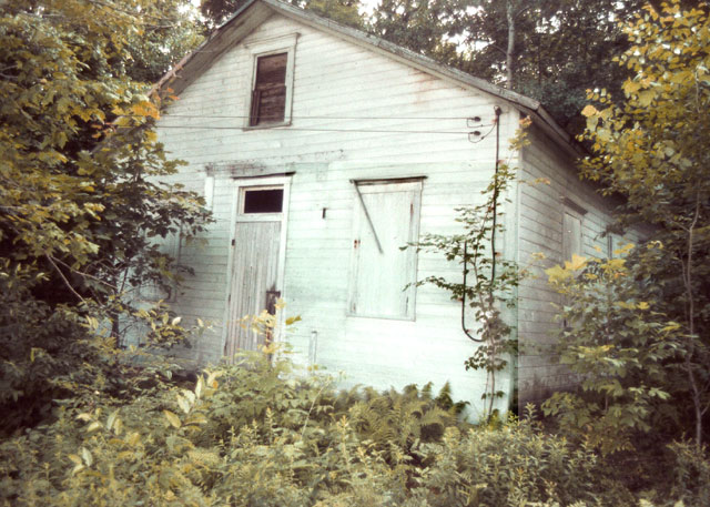
Cortez School (1942)
Eleanora School (1942)
No photograph available
Anita High School (1942)
No photograph available
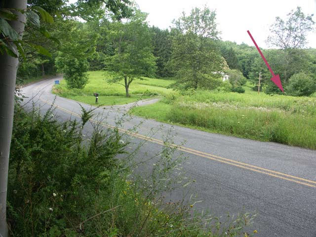
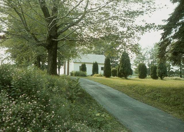
Hemlock School (1943)
Location: Panic Knoxdale Road
Coordinates: 41.04944, -78.96444
Elevation: 1820 ft
View on Google MapsPanic School (1947)
Anita School (1958)
No photograph available