Perry Township Schools
Historical Documentation of Schools (1920-1960)
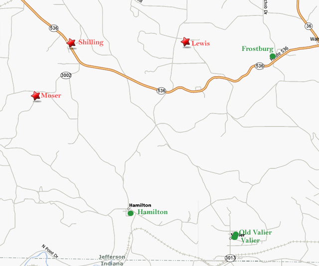
Schools in Perry Township
| District | School | Year Closed |
|---|---|---|
| Perry | Blose | 1920 |
| Kinsel | 1931 | |
| Fordham | 1931 | |
| Bowersox | 1932 | |
| Lewis | 1945 | |
| Moser | 1954 | |
| Shilling | 1957 | |
| Frostburg | 1960 | |
| Hamilton | 1960 | |
| Valier 2 | 1960 | |
| Valier 1 | — |
Blose School (1920)
No photograph available
Kinsel School (1931)
No photograph available
Fordham School (1931)
No photograph available
Bowersox School (1932)
No photograph available
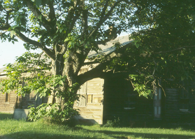
Lewis School (1945)
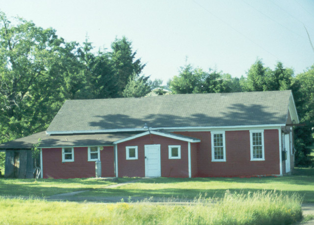
Moser School (1954)
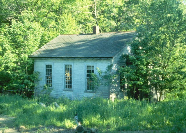
Shilling School (1957)

Frostburg School (1960)
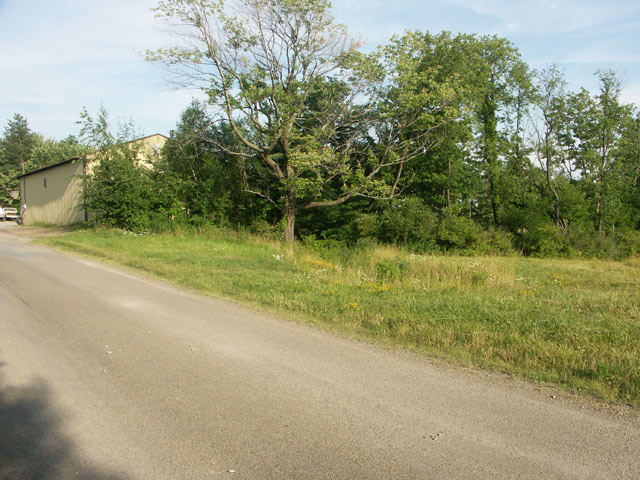
Hamilton School (1960)
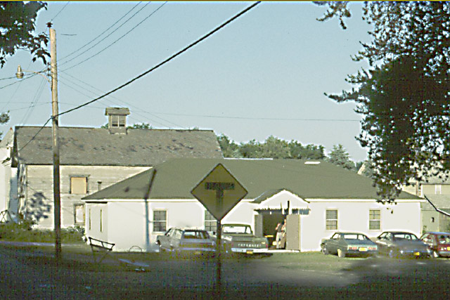
Location: No 8 Road
Valier 2 School (1960)
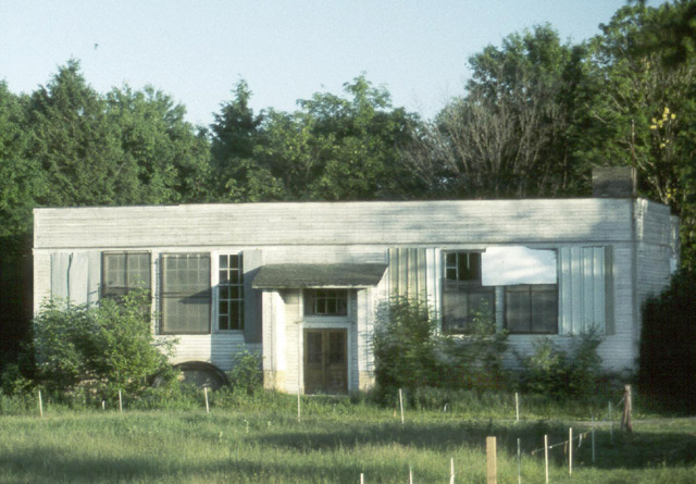
Valier 1 School